EXCURSIONS
Home > WHAT TO DO IN SUMMER > EXCURSIONS
EXCURSIONS FOR EVERYONE AND FOR EVERY NEED
In the Tofana Freccia nel cielo mountain area in Cortina d’Ampezzo you will find many trails, to spend days in the open air surrounded by unspoilt nature. Routes suitable for all types of sportsmen and women, for the well-trained and for those who want to relax while admiring the breathtaking views.
Along the way, you can stop at our high-altitude refuges to savour the most typical flavours of the mountains amidst taste and zero-kilometre products. To reach the starting points of many itineraries, you can use the lifts open in summer.
"TALKING ROCKS" TRAIL
Ascent time 50 minutes – Descent 35 minutes
Location: Ra Valles
Destination: Ra Valles
WORK IN PROGRESS TRAIL
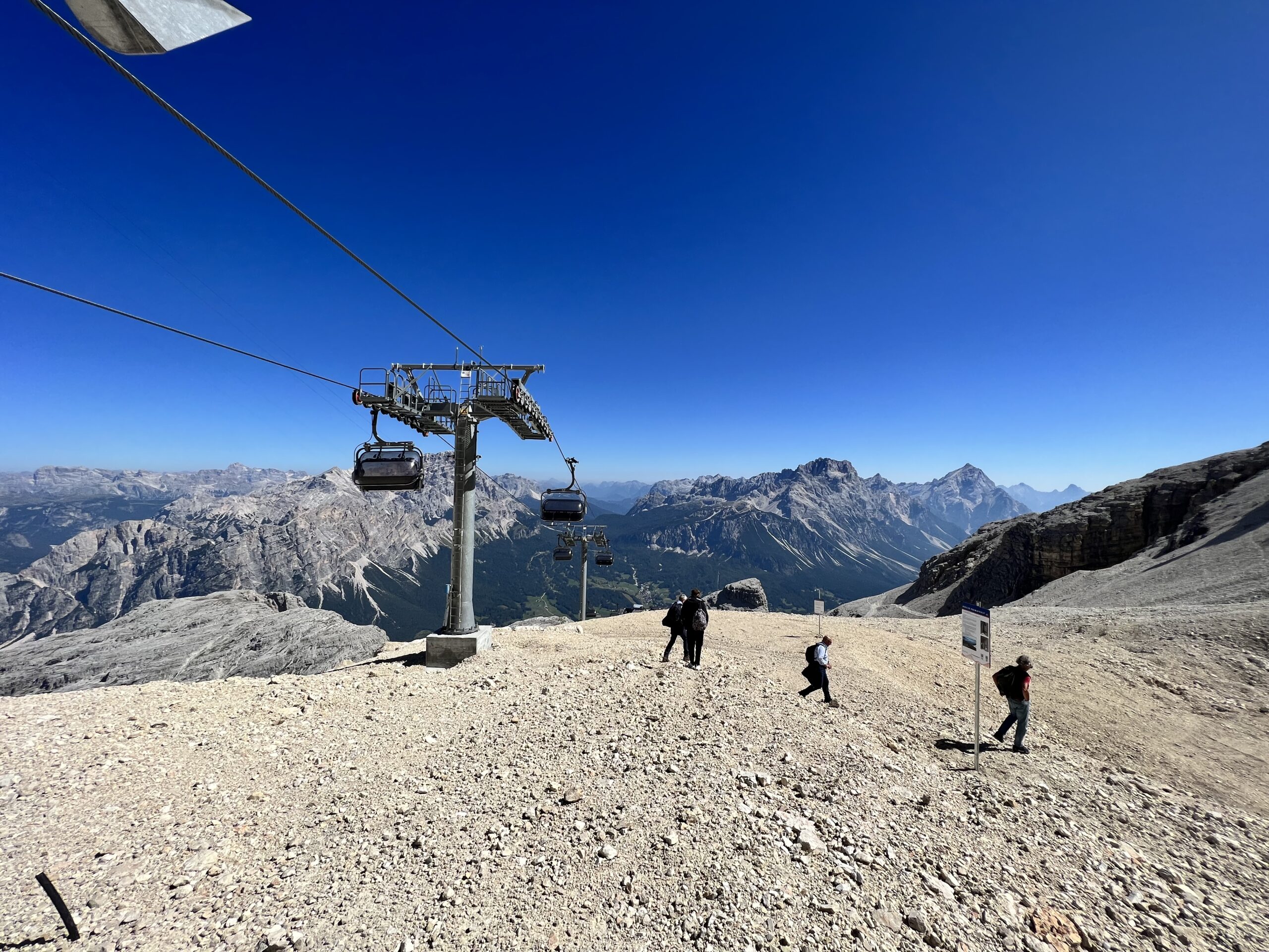
The “Talking Rocks Trail” is a one-of-a-kind path, a journey through the geological history of the Dolomites,a UNESCO World Heritage site. Starting from an altitude of 2,475 meters and ending at 2,740 meters, this trail offers a breathtaking panoramic views of the surrounding mountains.
The trail’s name derives from the extraordinary rock formations that are present along the path. These rocks, primarily composed of dolomite, seem to speak to visitors, telling stories of times past. Dolomite, the characteristic rock of the Dolomites, is famous for its white-gray color and its ability to spectacularly reflect sunlight, creating unforgettable sunrises and sunsets.
Along the “Talking Rocks Trail,” visitors can closely observe the various dolomite formations, which seems natural sculptures shaped over millions of years. Some of these rock formations take on suggestive and evocative shapes, stimulating the imagination of visitors. Every step along the “Talking Rocks Trail” is an opportunity to learn something new about the geology of the Dolomites and the history of the Earth. It’s an experience that combines the adventure of high-altitude hiking with the discovery of the natural and geological wonders of this unique region.
The “Talking Rocks Trail” is not just a trail but an open-air museum where the rocks speak and tell stories of ancient times. It is a place where nature and history blend, creating an unforgettable experience for all mountain and geology lovers. The goal of this trail is to further enhance the natural and cultural heritage of the region. Besides stimulating tourist interest, the trail is designed to be an educational experience,allowing people to learn while enjoing nature and to approach it in a respectful and informed way. Don’t miss the opportunity to discover the stories that the nature of Ra Valles has to tell through this engaging hiking trail that combines sport, culture, and fun.
RESCUE PERMAFROST - BUS TOFANA 2770 M TRAIL
Ascent time 50 minutes – Descent 35 minutes
Location: Ra Valles
Destination: mountaintop station of the Pian Ra Valles – Ra Valles – Bus Tofana chairlift

With the “Freccia nel Cielo” – departing directly from the center of Cortina d’Ampezzo, at Via Stadio No. 12, with parking facilities on-site – you first reach the Col Drusciè station at 1,777 m using the modern 10-person cable car. From here, you continue to Ra Valles at 2,475 m with the practical cable car. Once you reach the intermediate station, the stage is set with the UNESCO-signed peaks, leaving you breathless. Hence, we invite you to reach the mountaintop station of the Pian Ra Valles – Ra Valles – Bus Tofana chairlift on foot via a trail that starts from Ra Stradela, just outside the Capanna Ra Valles restaurant, leading you to an altitude of 2,770 m in 50 minutes. The trail features an exhibition with 12 informative panels: the first one is located right outside the Capanna Ra Valles restaurant, and following the entire itinerary, you reach the mountaintop station of the chairlift where the displayed panels perfectly describe the project and what has been achieved. At the same time, the spectacular, almost lunar panorama of the UNESCO high peaks, where the rocks seem to draw near, invites you to savor this unique beauty, camera in hand!
To return, you retrace your steps to Ra Valles, where, after a pleasant break at the Capanna Ra Valles restaurant, you can take the cable car back.
Easily accessible for everyone. Elevation gain 300 m.
Giulia Ramelli trail
Giulia Ramelli trail
40 minutes
Location: Ra Valles
Destination: Ra Valles
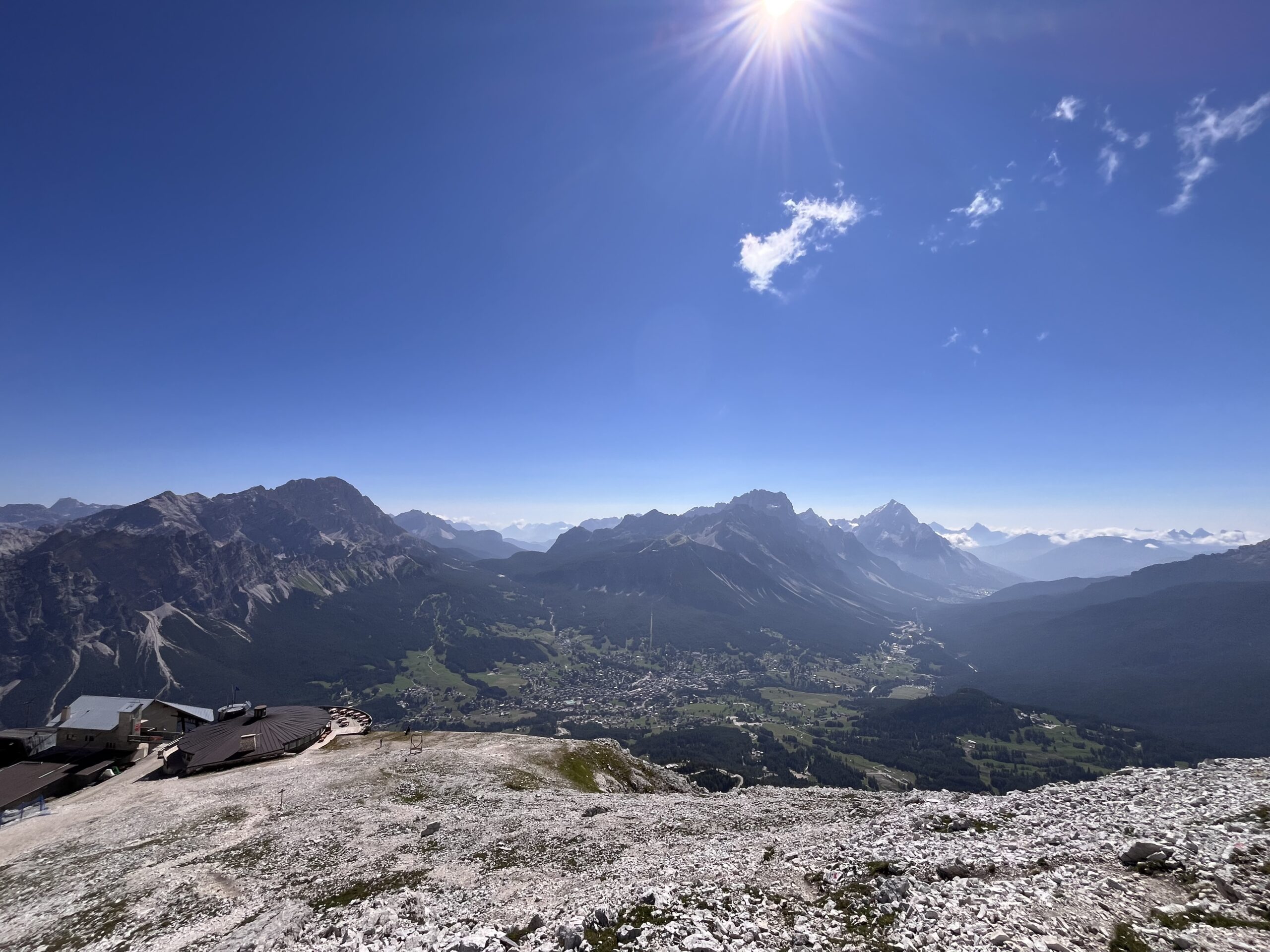
A path dedicated to Giulia Ramelli, the Venetian ski instructor and mountaineer who tragically died in an avalanche on the afternoon of 11 January 2023 on the slopes of Mount Nuvolau. Giulia was a great mountain enthusiast: she liked to take walks in the woods and immerse herself in nature.
The Giulia Ramelli trail starts from Capanna Ra Valles and leads to Cima Giuly, on which you can find the summit cross in honour of Giulia, created by Franco Crea, a well-known Venetian shipwright.
This route allows you to enjoy, looking southwards, a marvellous panorama of the entire Ampezzo basin, Antelao, Sorapis, the 5 Torri, as well as the Socrepes ski fields, where Giulia loved to teach skiing. Turning from the opposite side, one can appreciate the splendid Ra Valles basin and the majesty of the Tofana di Mezzo.
In summer and in good weather, the path is easy to walk along and does not require any special mountaineering equipment, making it suitable for everyone.
Ghedina Lake
Trail 410
Once in Cadin di Sopra, continue to Cadin di Sotto – Via del Castello to the Freccia nel Cielo parking lot.
3 hours
Start: Col Druscié
Arrival: Cortina
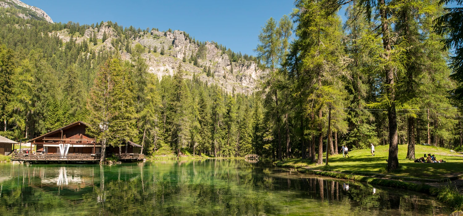
Itinerary immersed in the woods to discover the famous Ghedina Lake, starting from Col Druscié. Once out of the top station of the gondola, follow the first section of trail 413 and at the end of the descent at the crossroad turn left to join trail 410. Here it opens a path that descends to Pié Tofana, immediately offering spectacular panoramic views of the surrounding mountains. The trail continues past a charming little lake with a characteristic heart shape. As you get closer to Lake Ghedina, you are enveloped in an atmosphere of peace and tranquility, interrupted only by the sounds of nature: the lake itself is a magical place, known for its mysterious beauty and crystal-clear water that reflects the colors of the sky and surrounding vegetation. Perfect for a break and to enjoy the serenity of a natural environment.
Forcella Rossa
Trail 407
2/3 hours uphill
Location: Ra Valles
Arrival: Col Drusciè
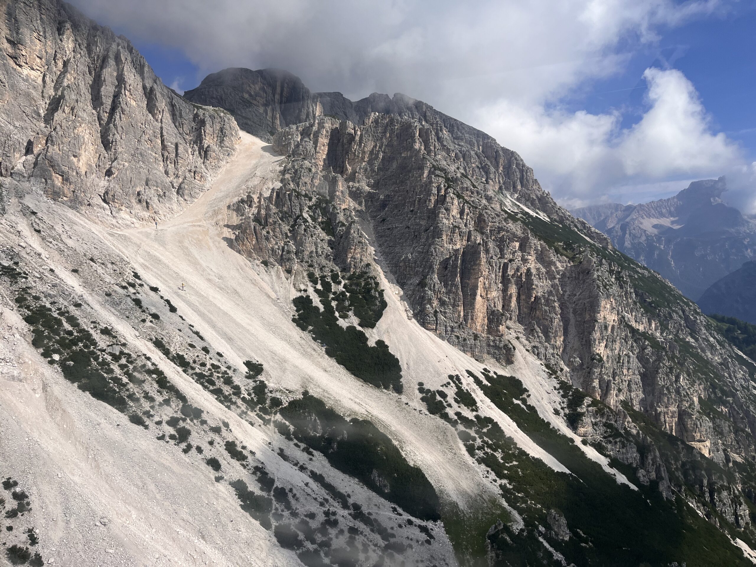
Challenging path to discover the historic Forcella Rossa slope (scree) starting from Ra Valles descending on path 407, passing through Pié Tofana and then rejoining Col Druscié where the cable car leaves for Cortina.
Stries
Trail 413
WARNING: part of trail 413 is temporarily closed. Detour following trail 450 to Cadelverzo – Cadin di Sotto – Via del Castello (to Freccia nel Cielo parking lot).
2 hours
Start: Col Druscié
Arrival: Cortina
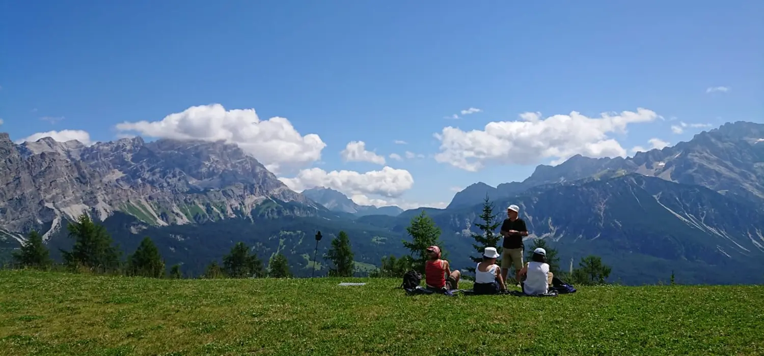
A walk in nature, among the local flora and fauna, with a total duration of two hours, starting from Col Drusciè and ending in Cortina at the start of the gondola lift following trail No. 413. This is an ideal route for those who want to try their hand at a pleasant hike in the midst of nature through lush forests. Along the way, you can encounter various plant and animal species typical of the area, observing local biodiversity up close. In addition, the trail is well marked and suitable even for less experienced hikers, making the experience accessible and enjoyable for everyone. Due to the works for the construction of the new Bobsled track, the final part of the trail is closed and is diverted to trail No. 410, which arrives at the village of Cadelverzo di Sopra. From here follow the municipal road leading to the hamlet of Cadin until the intersection with the road from where you then take via del Castello and return to the start of the Tofana Freccia nel Cielo gondola.
CHAMOIS PATH
Trail 407 – 405
About 3 hours
Start: Col Druscié
Arrival: Duca d’Aosta
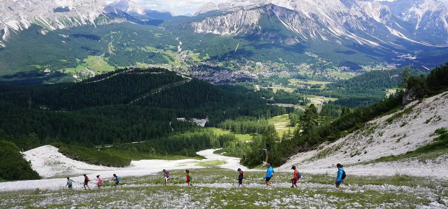
A journey into beauty – of about 3 hours – that leads from Col Drusciè to Rifugio Duca d’Aosta. After descending to Piè Tofana, follow the first section of trail No. 407 to the crossroad where the Chamois Trail No. 405 begins. In the first section at the base of the rock walls, follow the trail until you reach the Canalone di Tofana ski slope, which you cross with a series of zig zags. Sometimes you are lucky enough to catch a glimpse of chamois grazing in the green meadows above. The trail zig-zags along the upper part of Canalone di Tofana and crosses the base of the rock face until it reaches the Forcella Rossa slope and crosses trail No. 407: a lucky area because it allows visitors to catch a glimpse of the chamois that populate the area for a total immersion in nature!
Astroring
THE PATH OF THE PLANETS
40 minutes
Starting point: Pié Tofana
Arrival: Col Druscié
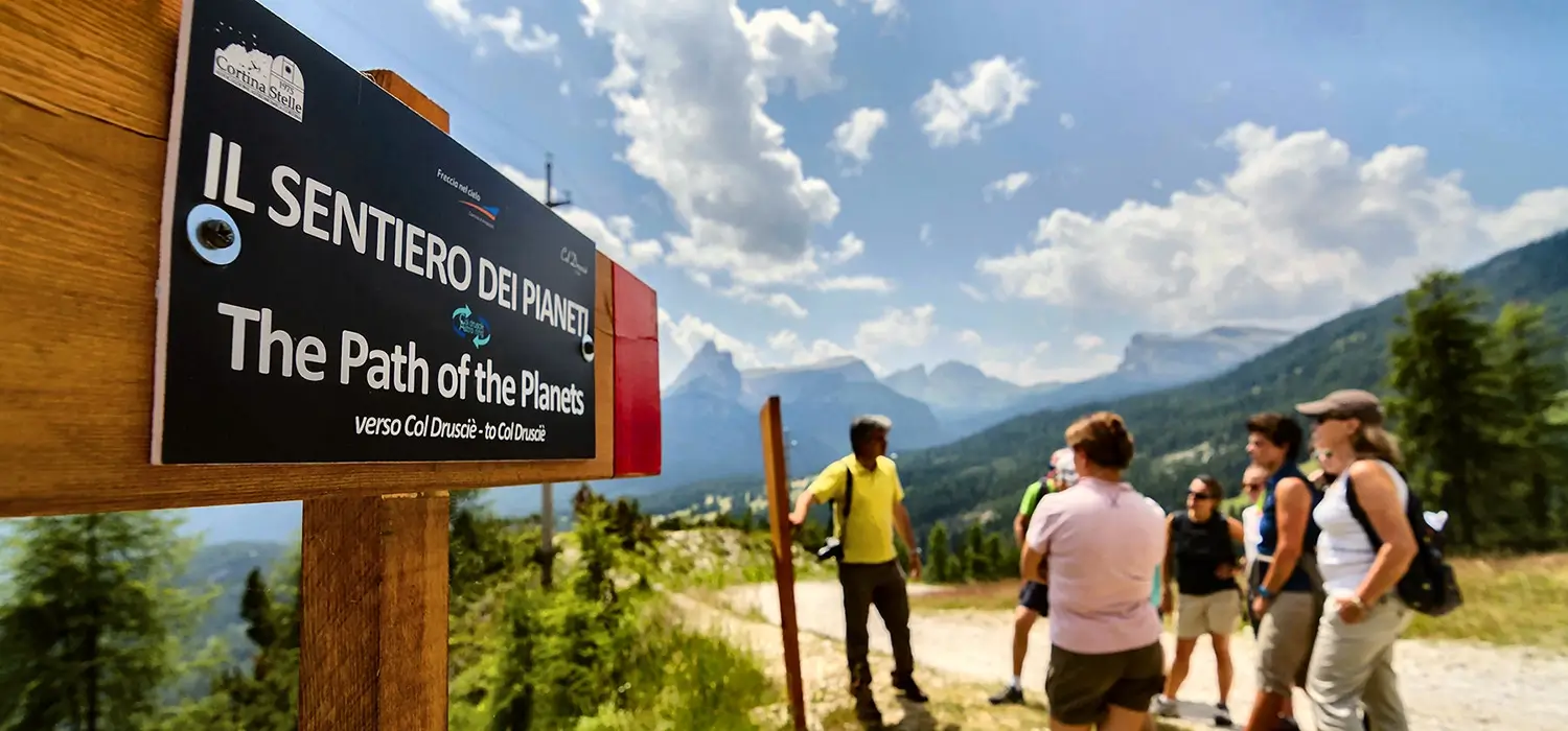
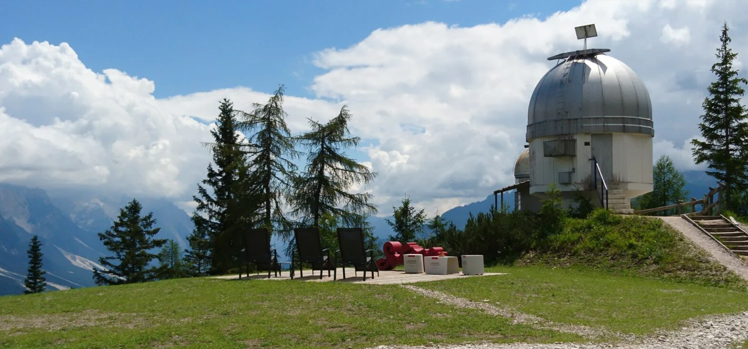
It is an easy walk to discover the solar system and its planets along the first part of the Col Druscié Astroring. Along the route that connects Pié Tofana to Col Druscié, 12 boards have been placed with photos of the various planets and the Sun, all arranged at a distance which, on a 1/10 billion scale, reflects their real size and position in the sky. Illustrations with the main data and parameters that distinguish the various celestial bodies from each other, make the Path of the Planets a walk out of the ordinary and suitable for everyone, which ends after about 1km at the Helmut Ullrich astronomical observatory. We recommend the passage to the heart-shaped emerald lake between Piè Tofana and Col Druscié.
THE PATH OF THE UNIVERSE
30 minutes
Starting point: Col Drusciè
Arrival: Col Drusciè
RA ZESTES
Trails 407 – 446 – 409 – 410
4 hours
Location: Cortina d’Ampezzo
Destination: Panoramic point
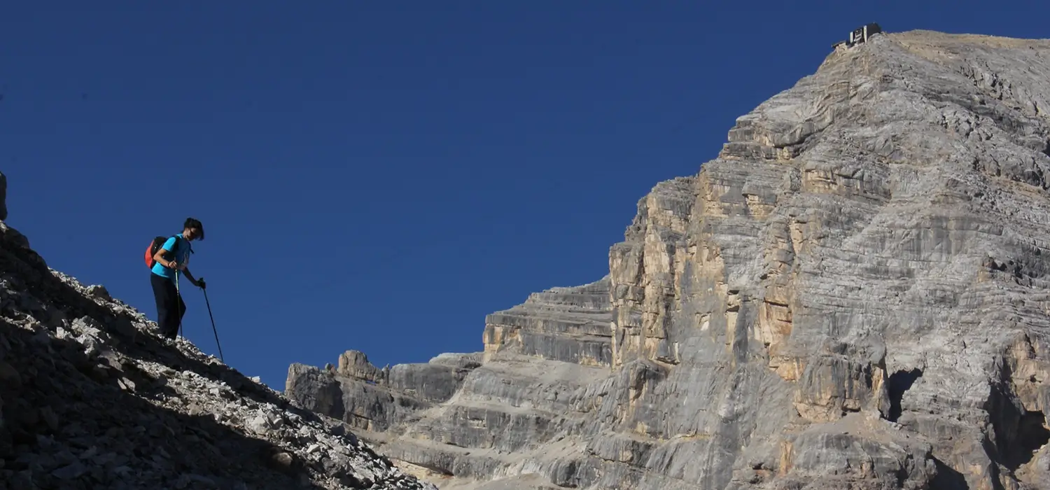
The Ra Zestes trail is a pleasant trekking route, almost all downhill, which starts from Ra Valles and allows you to enjoy the splendid scenery of the Ampezzo basin ampezzo valley along the walkways used by soldiers during the Great War.
Difficulty: E – Excursionist (Medium)
Family-friendly: No
Flat or slightly steep: No
With lifts: Yes
Points of interest: Grotta della Madonna – Indro Montanelli Bench – In Po’ Druscié and post Machine gun
INDRO MONTANELLI PATH
Trail 410
1,30 hours
Location: Piè Tofana
Destination: Piè Tofana
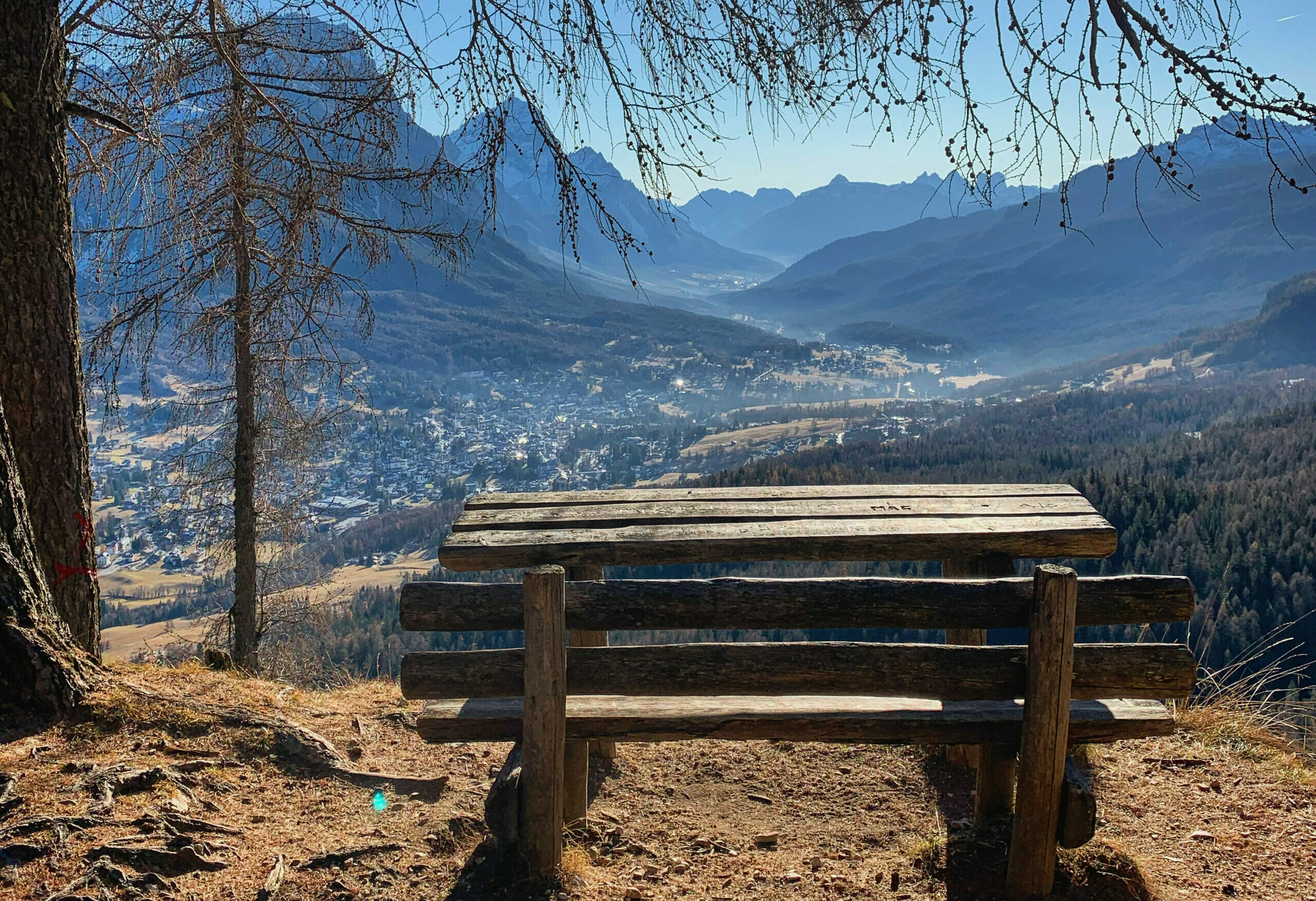
Indro Montanelli, a well-known Italian writer and journalist, loved Cortina and “‘dated’ it like a girlfriend,” said Mario Oriani, who was his editor at Corriere della Sera. The town of Cortina was his escape from Milan to find peace in the heart of nature among the green woods.
In particular, there is an easy and scenic trail that connects Col Druscié to Fiames and was named after him: the Montanelli Trail (No. 410).
In fact, the journalist loved to take long walks to relax, and along the trail you can find several benches and viewpoints where you can stop to rest and enjoy the view of the Ampezzo valley.
In particular, when you arrive at Crepe de Cianderou (1753 m), you will find the highest bench that he loved for the beautiful view of all of Cortina and the surrounding Dolomites. It is worth taking a break here and taking some photographs.
Length: 3 km
Height difference: 20 m
Difficulty: T suitable for children and families
Access: with the Freccia nel Cielo cable car
Support points: Rest. Col Druscié, Masi Wine bar Al Drusciè.


